Maya civilization: a new city of 1700 km² discovered in Guatemala

Nearly 1000 Mayan sites have been identified in the heart of the jungle thanks to an infrared analysis. Stone buildings and communication infrastructures that testify to a real political organization of the Maya civilization.
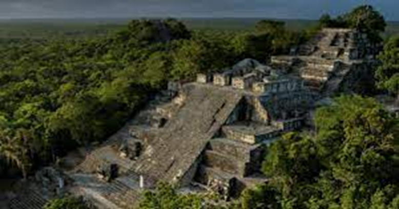
It is the fruit of two years of hard work. American and Guatemalan archaeologists recently announced that they have spotted unknown remains of a huge Maya city in northern Guatemala. Their study published in the journal Ancient Mesoamerica testifies to a monumental discovery: 775 sites identified in the Mirador-Calakmul basin and 189 others on the surrounding ridges of this jungle located a few kilometers from the Mexican border. In total, almost a thousand buildings dating from the preclassic period (1000 BC) lie under the forest layer. The researchers grouped them into 400 cities and villages. Among these vestiges, there are not only buildings. The surveys also revealed streets, water management infrastructure and playgrounds.
An interconnected network as big as 3 and a half times Paris
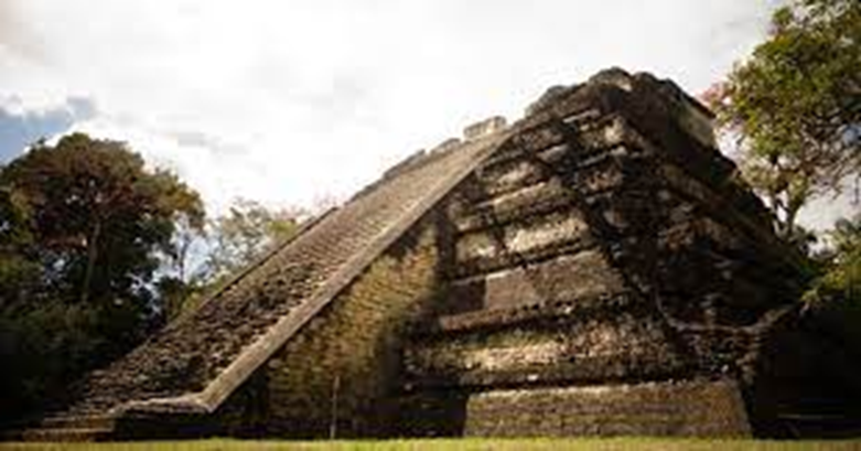
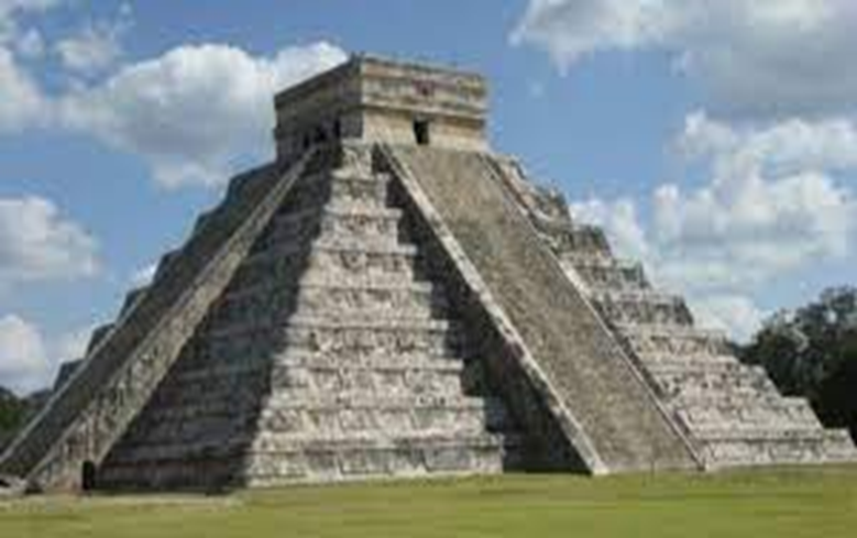
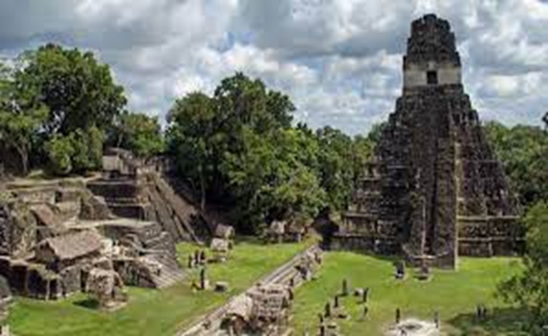
According to archaeologists, the sites cover an area of 1700km². For comparison, this represents 3 and a half times the surface of the city of Paris. The sites that have been identified there are linked by nearly 170 km of roadway. In their time, the Mayas made their own bitumen, with a mixture of clay and lime. These infrastructures confirm that the various villages communicated with each other, both for the exchange of resources and the circulation of populations. Some axes also converge on places of great importance such as the city of El Mirador where there were probably places of power and worship.. These central areas are dotted with high buildings, most often pyramids, whose height varies between 15 and 72 meters.

In addition to the inhabited areas, the cartography carried out by the archaeologists highlights several Mayan playgrounds (6 just for the city of El Mirador). The ball game was practiced there, a sacred ritual after which sacrifices were made.
Finally, nearly 200 artificial water reservoirs were also discovered, as well as catchment and control networks in the south of the site. For the researchers, this testifies to a colossal human organization necessary for the creation and maintenance of these infrastructures. According to them, the functioning of the cities required "large quantities of manpower and resources, amassed by a presumably centralized organization and administration".

The revolution of LiDAR technology
All of these discoveries would have been impossible without the use of LiDAR (Light Detection And Ranging) technology, which has been in development for 20 years. Unlike radar, which uses radio waves, this telemetry system uses lasers, in this case infrared, to take ultra-precise readings (to the nearest centimeter) below layers of vegetation and soil. LiDAR makes it possible to model the observed area in 3D.
This technology has already worked miracles in Egypt where it has revealed an unknown 30-meter cavity in the heart of the pyramid of Cheops . In Florida, it uncovered a Native American village on Raleigh Island. Closer to home, Notre-Dame de Paris cathedral has offered itself 3D modeling to help the companies in charge of its renovation after the April 2019 fire. An essential tool for understanding the structures of the building and placing scaffolding during construction.

In Guatemala, these new discoveries will help to better understand the organization of Maya cities and their political administration during the preclassic period.
Source : websites

