An isolated island far from humans

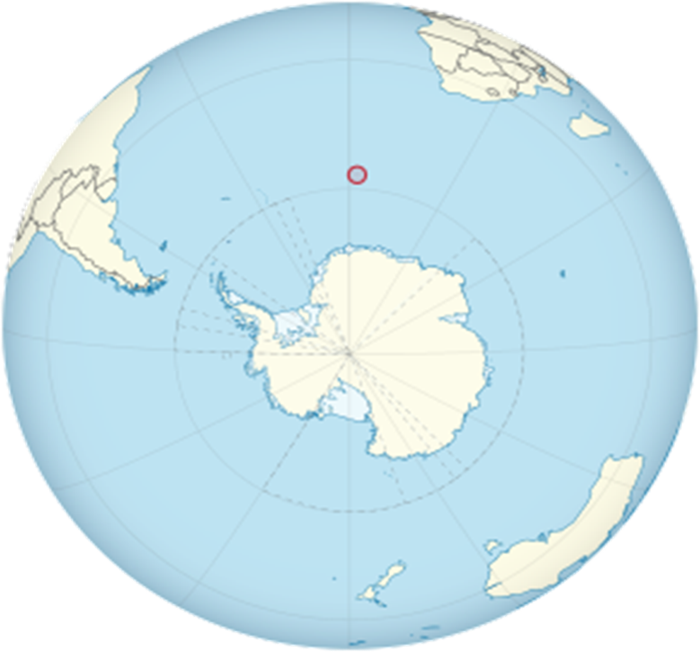
Bouvet Island is located in the South Atlantic Ocean, about 1,800 kilometers from the nearest landmass. The island was first seen by French explorer Jean-Baptiste Charles Bouvet on January 1, 1739, while searching for a southern continent. Due to incorrect coordinates, the island was not located again until 1808 by British whaler James Lindsay.
Bouvet Island belongs to Norway. In 1927, Norway claimed the island during the First Norwegian Expedition led by Harald Horntvedt. This annexation was officially recognized in 1930, furthering Norway's long-standing tradition of polar exploration. The island was declared a nature reserve in 1971 to protect its unique environment.
The island is uninhabited and there is no permanent human presence. Norway maintains an automated weather station, but access is restricted to protect the fragile environment.
Bouvet Island is located in the southern hemisphere. Ice cream (glaciers) constitute 93% of it. In the center of the island is a crater filled with ice from an active volcano, known as the Wilhelm II Plateau. According to some data there is a lake of molten lava on the island.
The island is considered an important breeding area for seabirds such as penguins, and it is one of the most remote islands in the world.
The island is located 1,700 km north of the coast of Princess Astrid in Queen Maud's Land in Antarctica.
It is 1,845 km south of Gogh Island and 1,900 km east of the South Sandwich Islands.
2600 km southwest of the coast of South Africa.
Its area is 49 km². 93% of the island's surface is covered by glacier.
Source: websites

