The role of geomatics technology in tourism planning and marketing: a case study of the Al Hoceima region

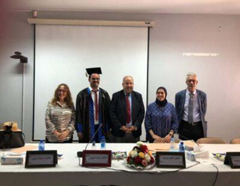
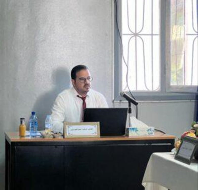
On Wednesday, July 5, 2023, at the Faculty of Letters and Human Sciences in Mohammedia, a dissertation for obtaining a doctorate in geography was discussed, presented by the student researcher Ahmed El-Essawy, on the topic: The Role of Geomatic Technology in Tourism Planning and Marketing: A Case Study of the Al-Hoceima Province, under the supervision of Dr. Jamila Al-Saidi.
The discussion committee consisted of ladies and gentlemen, Professor Al-Tayeb Boumaza, who was the chairperson and rapporteur, and Professor Jamila Al-Saeedi, supervisor, and each of Asmaa Bouainat, Abdel-Hamid Mazghab and Muhammad Al-Shekhawi, members of the committee.

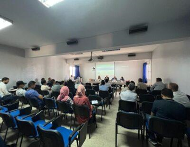
After the discussion, which lasted from 3:30 in the evening until 6:30 in the evening, and after deliberation, the discussion committee decided to accept the dissertation and grant the student researcher, Ahmed Al-Issawi, a PhD in human geography with a very honorable distinction, with the mention of the committee members.
According to what was stated in the discussion, the tourism sector in the Al Hoceima region needs to strengthen its strengths, invest in opportunities and rely on them in future planning for the development of tourist sites, and work to improve weaknesses and imbalances and avoid risks within the framework of building a tourism development strategy for the region and the development of sectors related to tourism.

The use of geomatics technology that contributes to improving and raising the efficiency of managing tourist sites and soil resources and promoting the tourism sector to achieve sustainable local development in the province of Al Hoceima.
Reaching the planning of tourist sites within the areas of the Al-Hoceima region and linking the coastal strip to the eco-tourist sites of the National Park and the areas of the Rif Mountains with tourist paths and orbits, according to the outputs of the proposed geographic-tourist information system, is very important to achieve diversity in the tourism product for the purpose of tourism development, and because of this contribution to Develop a development strategy to develop and value tourism sites in an integrated manner.

This study made it possible to identify the major milestones for the promotion and support of the tourism sector in the province of Al Hoceima, as well as its location through the tourism potentials it has and the strategic choices it adopted in order to achieve territorial development. It also made it possible to define a map of the multidimensional fragility landscape, develop areas of homogenous projects for development, and propose ten strategic directions and structured soil projects according to an earth-cartographic approach.

Tourism marketing, by adopting geomatics technology and the digital tourist map, plays an important role in the development of tourism by highlighting what the Al Hoceima region possesses in terms of tourist attractions. Coupled with the tourism services provided on the ground.
Source : websites

